Vue de la confluence entre la Dordogne et la Garonne au nord de Bordeaux depuis le satellite Sentinel 2

vorteX-io, winner of the France 2030 plan in the space sector

VorteX-io has won the France 2030 program sponsored by the French government, as part of the call for tenders for the “use of spatial data for water monitoring and management”. In a consortium with Magellium and Numérisk, we won two of the four lots for the this call for tenders launched by the French National Center for Space Studies (CNES) and the Ministry of Ecological Transition and Territorial Cohesion in 2023.

France, an ambitious player on the international space scene

The French space industry employs over 17,000 people and has achieved major technological and commercial successes. In response to the space ambitions of other nations and the private sector, this sector of excellence in France’s industry is now embarking on an era of innovation and growth, thanks to the space component of France 2030.

France 2030 logo

The objective? Keep France among the world’s leading space nations. The government has earmarked a budget of over 80 million euros to support emerging companies in the sector and their innovative solutions, through the launch of several calls for tenders covering a wide range of topics, including mini and micro launchers, in-orbit services, space surveillance andhydrology.

France has a major ambition:

  • Ensuring France’s autonomous access to space.
  • Take strategic positions and prepare the industry for the new challenges of space.
  • Position the ecosystem favorably in new space markets and applications.

The “Hydrology” call for tenders: optimizing water resource management using spatial data

Spatial data is currently little used by hydrological monitoring specialists. And yet, their processing is an invaluable tool in the fight against climate change and the management of its consequences, providing accurate and regularly updated information about our planet. The French spatial data ecosystem has what it takes to position itself among the world leaders in this field, and to demonstrate its cutting-edge national expertise. A case in point is the Franco-American SWOT mission (Surface Water Ocean Topography), conducted jointly by NASA and CNES. The goal? Probe 90% of the Earth’s surface waters with hitherto unrivalled precision, enabling the scientific community to better understand the dynamics of the oceans and surface waters (lakes, rivers and reservoirs). This understanding is fundamental to meeting the major global challenge of resilience in the face of climate change, and improving the global management of a resource that has become strategic: water.

In the wake of the Water Plan, CNES, in partnership with the Water and Biodiversity Department (DEB) of the French Ministry of Ecological Transition and Territorial Cohesion, has launched a call for tenders for the use of space data to monitor and manage the quantity and quality of water, as part of the space component of France 2030.

The 3-year services will enable us to monitor the volumes of water stored in dam reservoirs, as well as the dynamics of water bodies and rivers. Complementary services will monitor water quality in lakes and rivers, irrigated agricultural plots and intercropping plant cover density. They will be addressed to government departments and all local players involved in the issue.

The services of the “use of spatial data for water monitoring and management” call for tenders:

1. Monitoring water surface areas and volumes stored in reservoirs

2. Monitoring water quality in surface water bodies

3. Detection of irrigated agricultural plots and monitoring of vegetation cover density for water protection

4. Accessing, using and analyzing spatial hydrological data

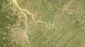
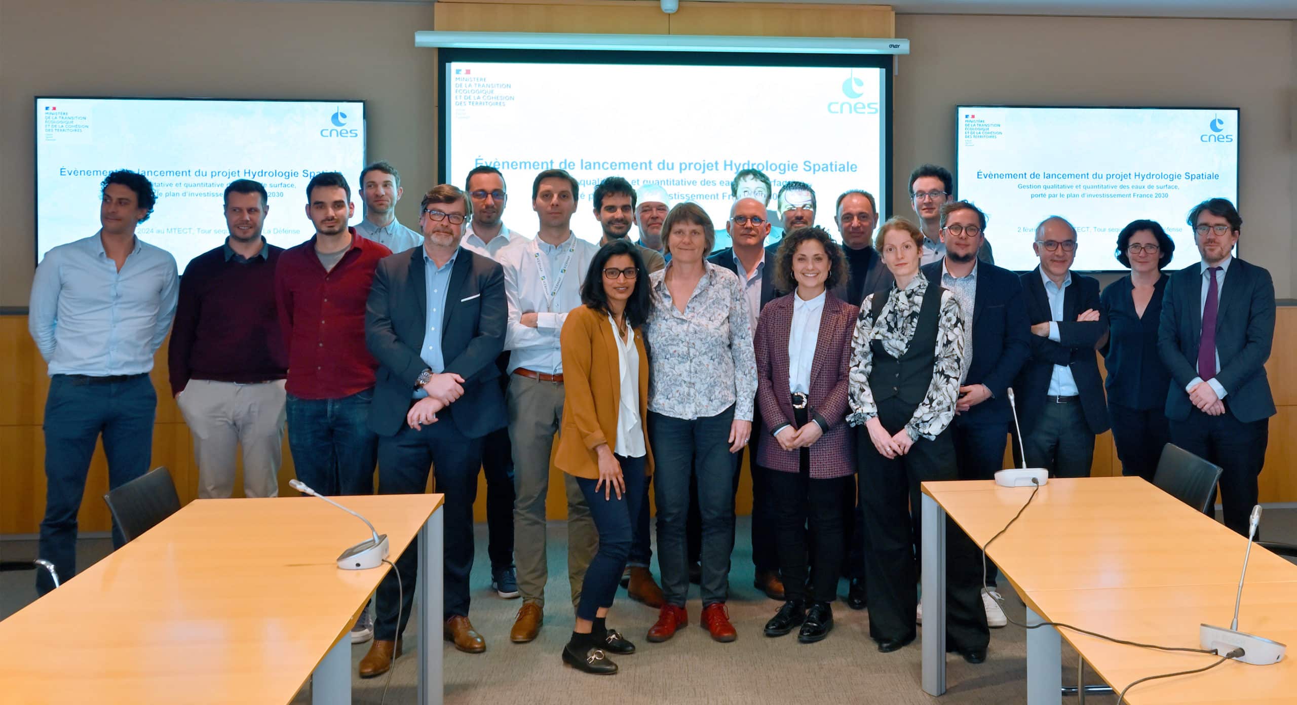
The winners, of which vorteX-io is proud to be a part, were unveiled at the official launch of the “Spatial hydrology: qualitative and quantitative management of surface water” project on February 2, 2024 at the Ministry of Ecological Transition and Territorial Cohesion in Paris.

Hydroventure logo

It should be noted that most of the project leaders in this call for tenders are members of the Hydroventurethe first operational space hydrology center for global water monitoring and management. Through this partnership, they are committed to developing an industry of excellence in space hydrology, and helping to support the ambitions of the France 2030 plan.

Photo des lauréats du volet spatial de France 2030
The winners of the call for tenders gathered at the official launch of the "Spatial hydrology: qualitative and quantitative management of surface water" project, on February 2, 2024 in Paris.

VorteX-io chosen by the French government to provide spatial hydrology services

Jean-Christophe Poisson, co-founder and CEO, and Jérémy Hahn, Platform team manager, were present at the event to represent vorteX-io, selected by the French government and CNES to provide the following two services.

Monitoring water quality in surface water bodies

This service is designed to meet the need for regularly updated information on the temperature, chlorophyll-a and microalgae content (particularly cyanobacteria), turbidity and suspended solids of surface waters. This applies to water bodies over 3 hectares in size, as well as watercourses over 30 meters wide. The data will be presented in dashboards at different scales (territorial and temporal), providing invaluable decision-making supportand optimal information for the players involved, whether public or private.

The Magellium (project leader, in charge of spatial data processing) / vorteX-io (co-contractor) consortium, supported by three scientific laboratories (Pôle Écosystème Lacustre, Géosciences Environnement Toulouse and Laboratoire d’Océanographie de Villefranche), was chosen to provide this service, thanks to its complementarity in space and in situ.

Water resource management requires theuse of hydrometric data, mainly from in situ stations. And yet, satellite data can enrich water resource monitoring and meet a wide range of objectives (global strategic management, facility management, flood and low-water forecasting, etc.) thanks to one major advantage: regular coverage of the entire world, including territories that are difficult to access.

In order to validate their accuracy, satellite measurements require calibration data from ground-based measurements. Within the framework of this call for tenders, vorteX-io will complete the existing network of in situ measurements with theinstallation of around thirty micro-stations which will mainly analyze water temperature and, in time, its turbidity.

Focus on the vorteX-io micro-station

Inherited from space altimetry, the innovative technology of the vorteX-io micro-stationmicro-station technology overcomes the limitations of traditional in-situ instruments (instrument drift, flood damage, vandalism, inaccessibility, financial resources for maintenance, etc.). With no contact with the water and powered by solar energy, our sensor guarantees the highest precision of hydrological parameters measured autonomously and without human intervention in the field, just like a satellite. Its durability and measurement stability are therefore superior to those of immersed sensors. What’s more, each of our micro-stations is automatically controlled remotely and in real time to guarantee optimum operation (on-board software updates, integration of new functions, monitoring of battery health and charge level, etc.). This type of fleet management, fully operated by vorteX-io, considerably reduces costs and offers highly competitive rates.

Access, use and analysis of space-based hydrological data

Carried out by the vorteX-io (project leader) / Numérisk (co-contractor) consortium, this service makes available all the data produced by the other three lots of the call for tenders, via a single portal. It will also offer complementary tools based on the interpretation of combined data, such as the visualization of areas exposed to water stress, enabling rapid and precise identification of areas at risk.

maelstrom-hydrology-platform
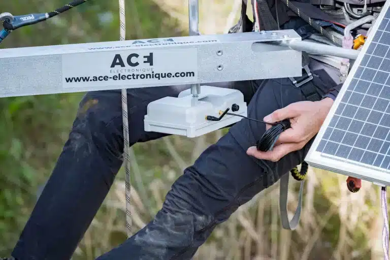
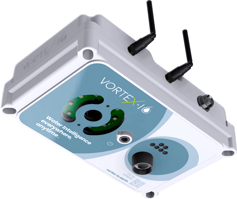
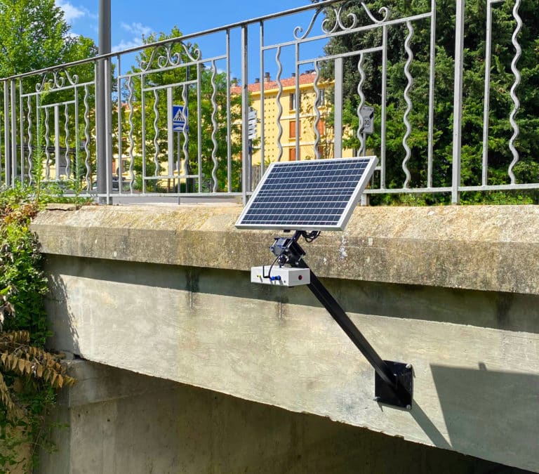
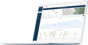
VorteX-io has distinguished itself through its expertise in the technical development of the platform. Maelstrom® platformplatform, its in-depth knowledge of spatial data and its ability to analyze hydrological data in great detail. This unique combination of skills, combined with Numérisk’s know-how, guarantees the successful implementation of this crucial tool for the appropriation of the products and services offered, by all players.

Backed by the official recognition of our expertise by the French government and CNES, we are continuing to innovate to meet the growing need for knowledge and forecasting of watercourses, and to support the resilience of local authorities in their sustainable management of this vital resource.

The vorteX-io Newsletter

Get the latest news from vorteX-io:
projects & innovations, updates of the Maelstrom® platform, in-depth articles about hydrology...

I subscribe

Discover a one-of-a-kind platform for free!

Discover the Maelstrom® platform for free!

We reveal to you in full transparency the potential of our hydrological data platform.

vortex-io-solution-monitoring-course-of-water

Unlimited and free access to Maelstrom® thanks to our demo micro-stations.

Already have an account? Log in here .

First visit?

There are several types of subscription plans to access the MAELSTROM® platform

Access MAELSTROM®.

vortex-io-solution-monitoring-course-of-water

You already have an account on MAELSTROM® or you want to create one